


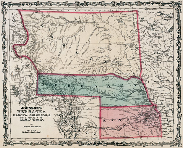
Johnson’s Nebraska, Dakota, and Kansas
From Atlas by Johnson and Browning, 1861.
Size: 14" x 18"
SAHRL 978/1862/J63
This map pictures the original Dakota Territory, consisting of the present states of North Dakota, South Dakota, Montana, and Wyoming. Parts of North Dakota were included in seven different territories prior to the establishment of Dakota Territory in 1861.